The previous post in this series is here..
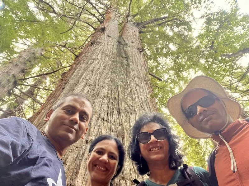
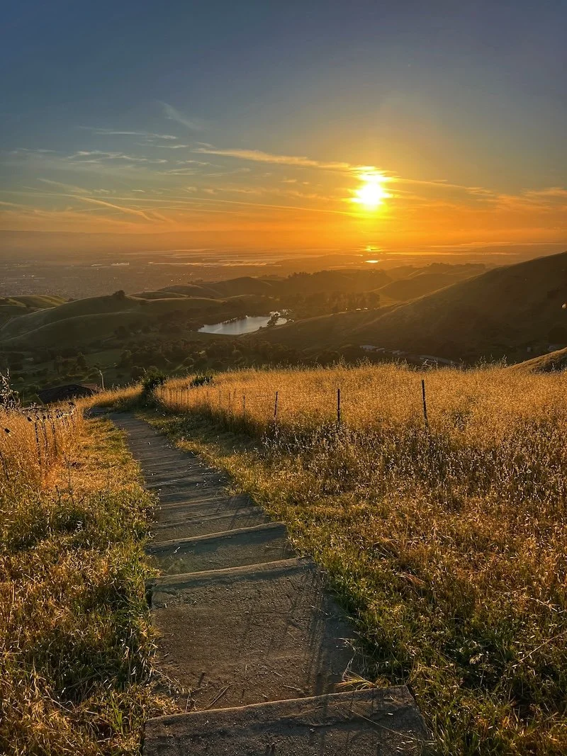
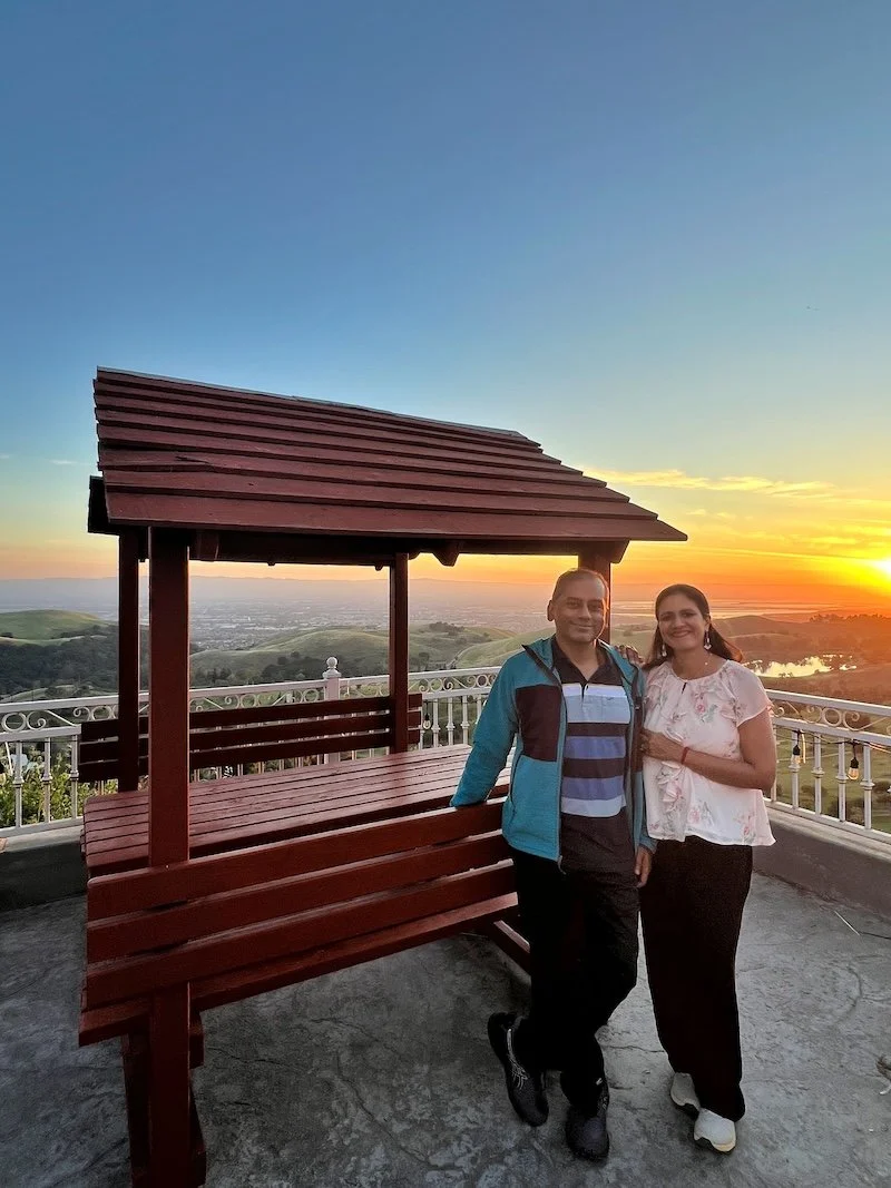
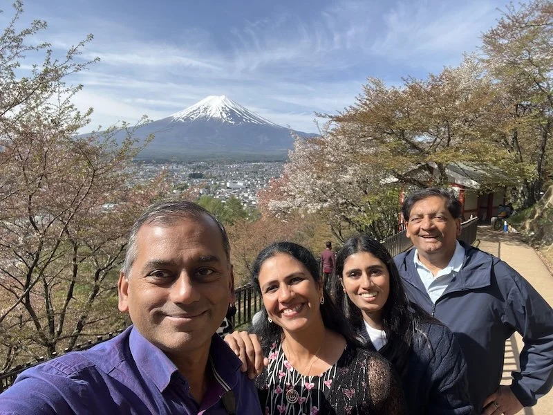
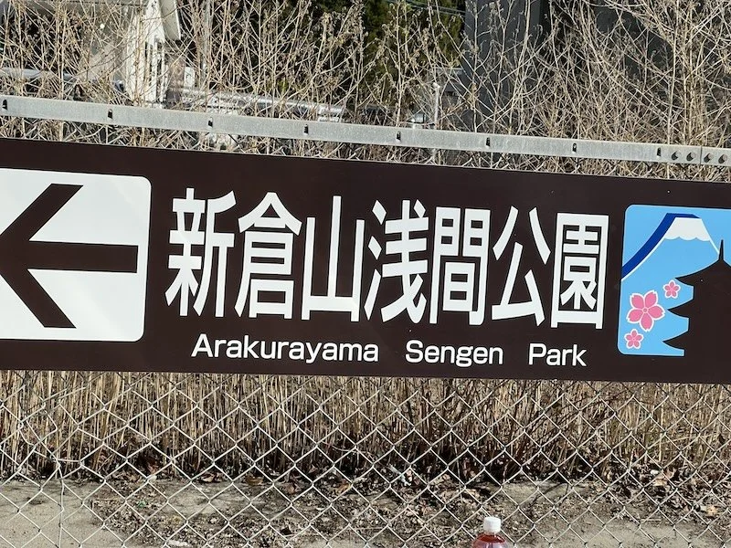
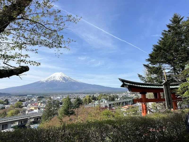
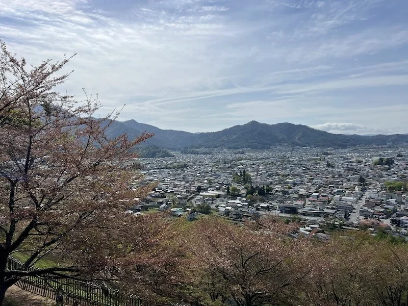
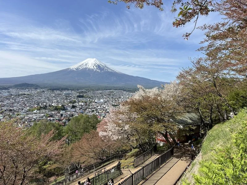
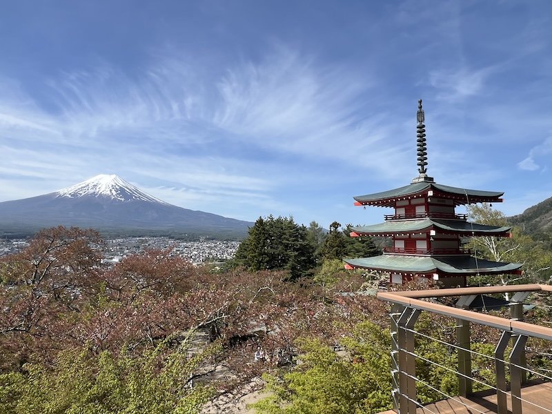
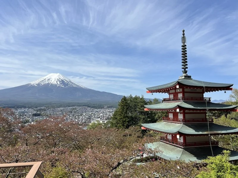
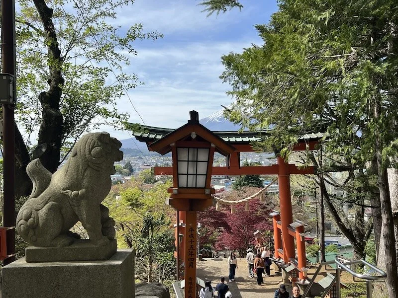
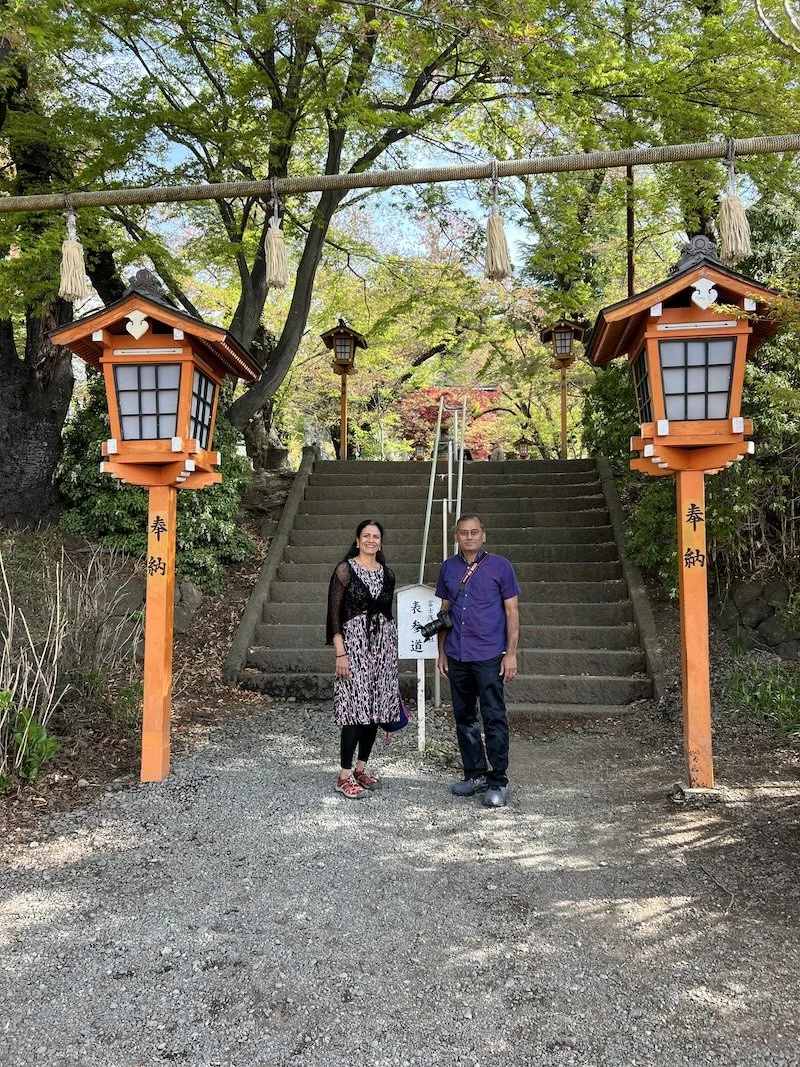
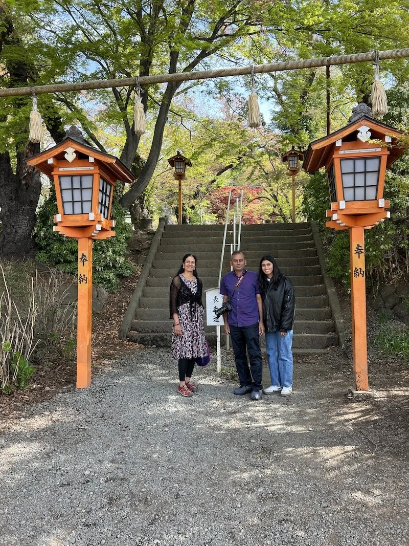
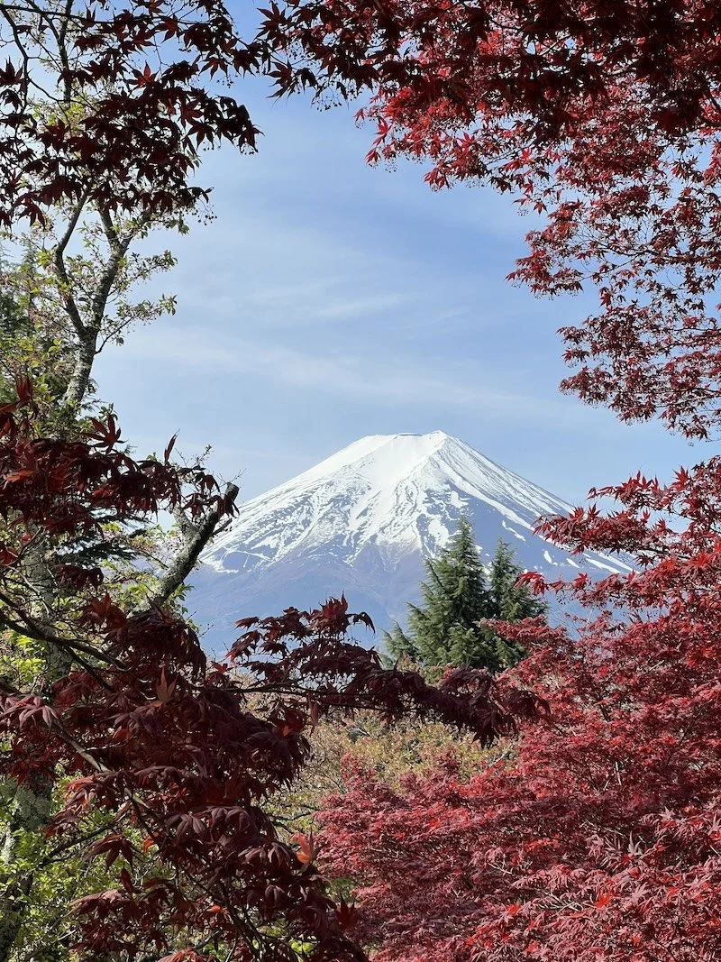
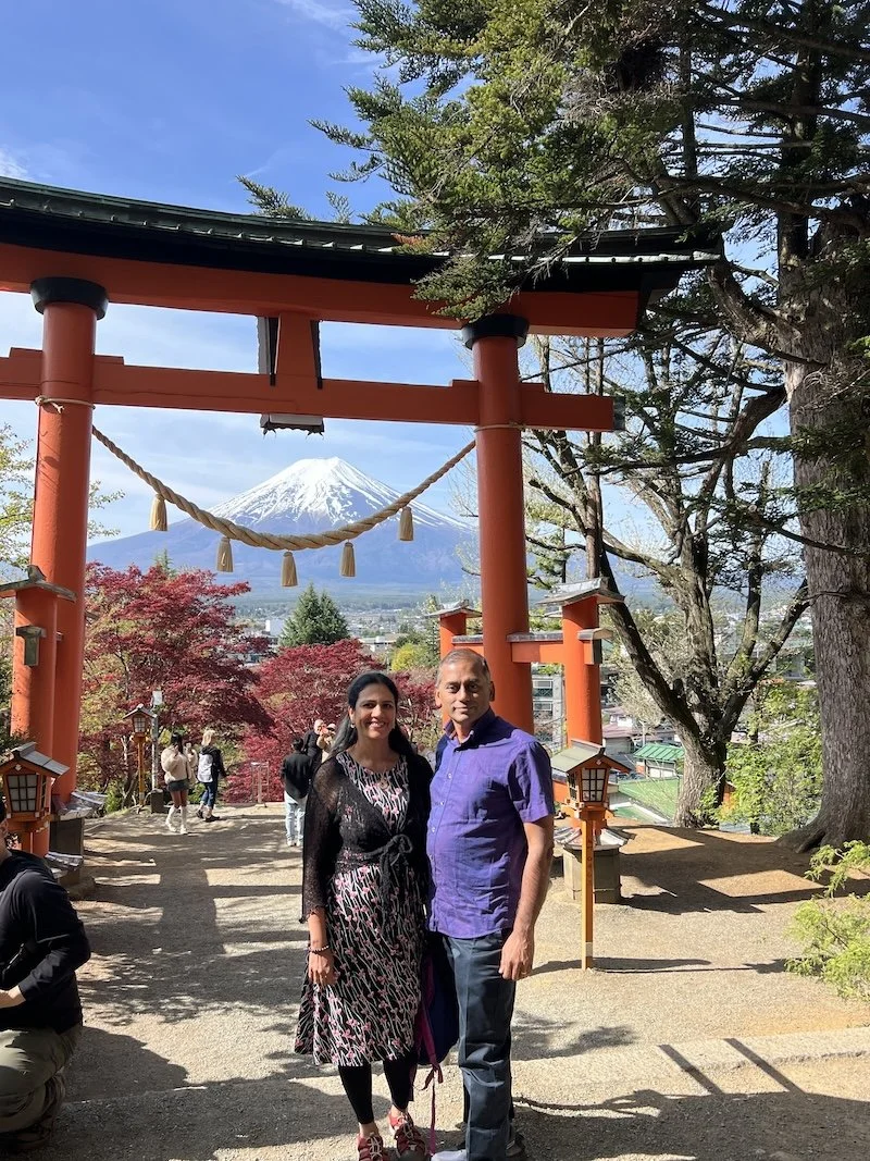
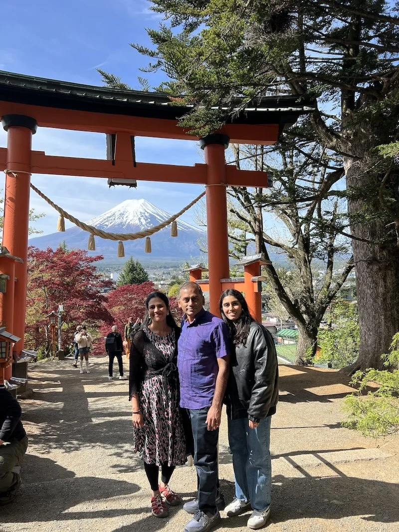
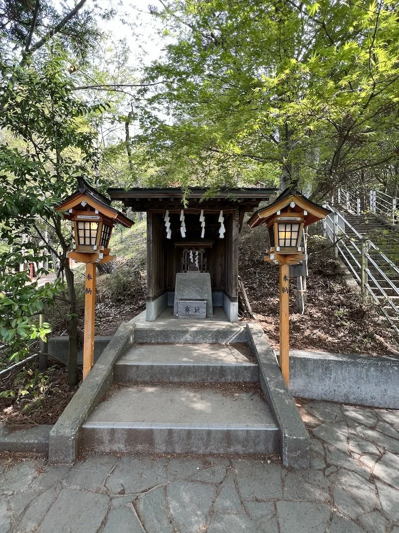
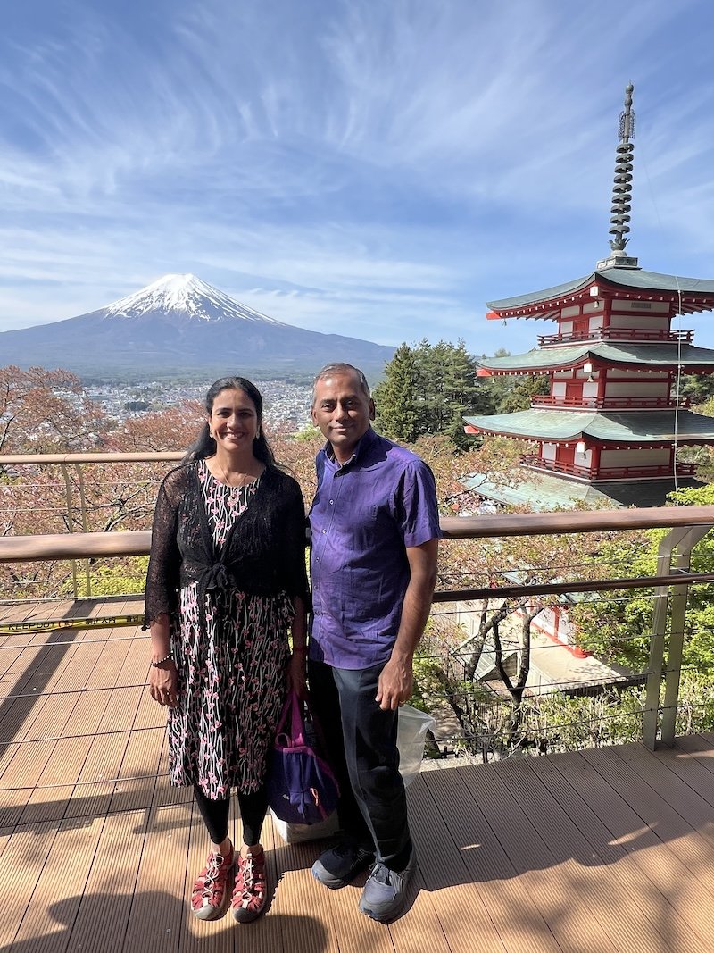
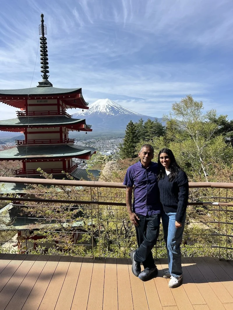
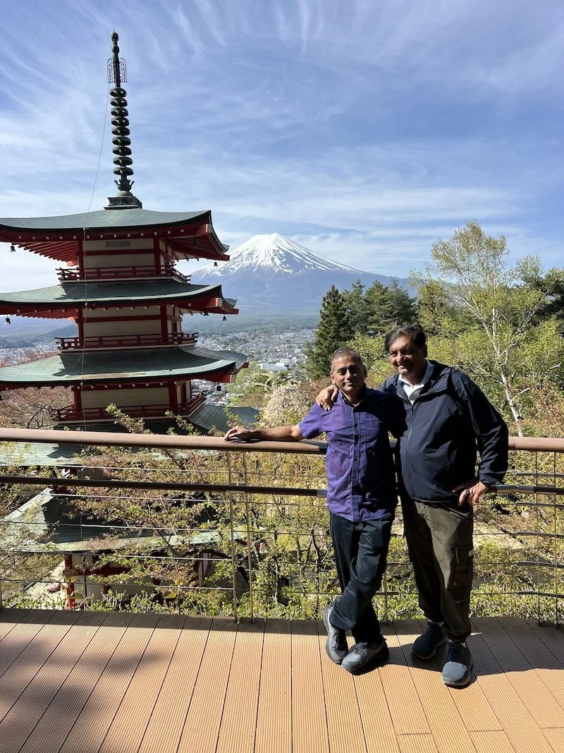
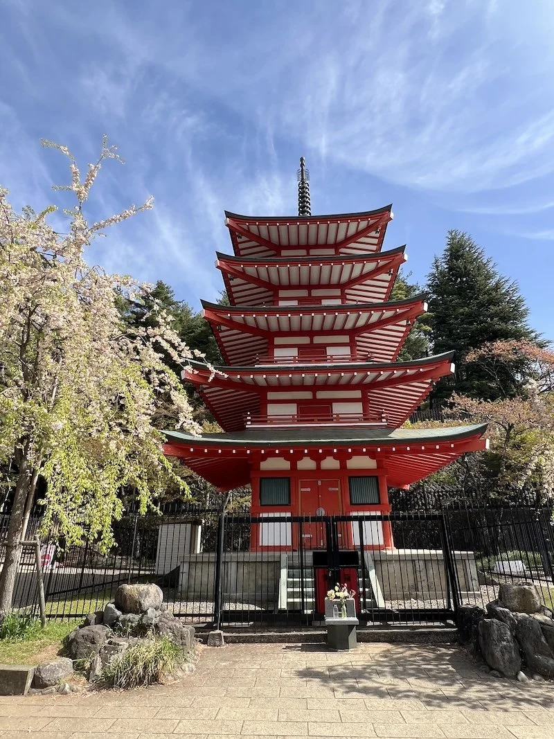
Our second stop in the Mt. Fuji area was to climb up a bill to the Arakurayama shrine and see views of the valley and Mt. Fuji from this hill top shrine.
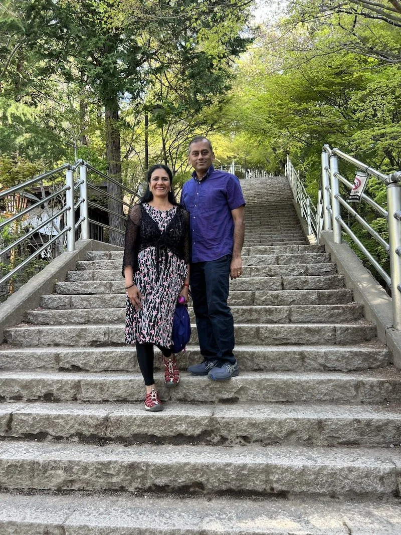
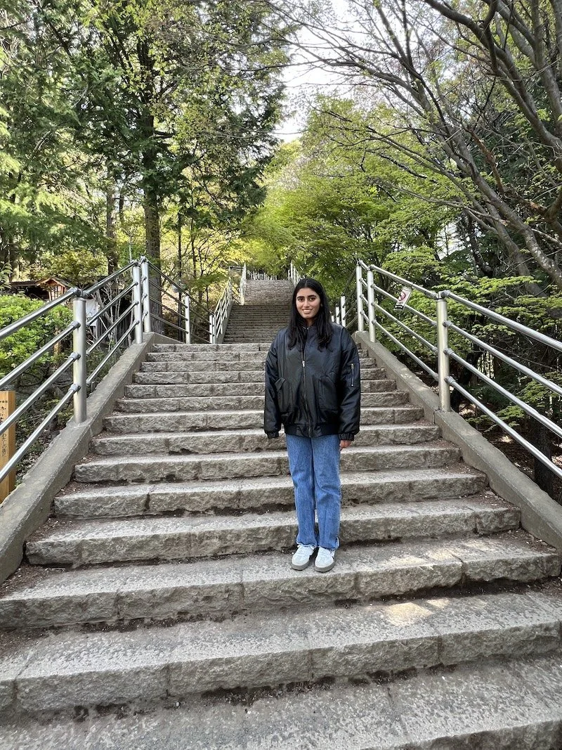
We were told that it was a pretty hard hike. My friends son was not feeling well that morning and he braved it to this point but needed rest. So four of us went up. We promised to do our best to go as fast as we could and come back. There was a short drive from Lake Kawaguchiko to a parking lot for this shrine. We crossed a road and were faced with a bunch of steps that keep coming.
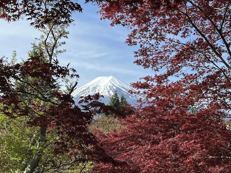
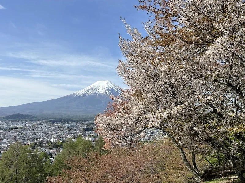
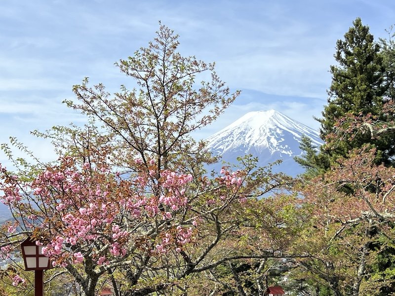
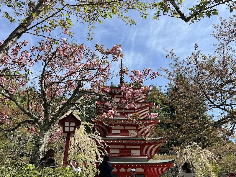
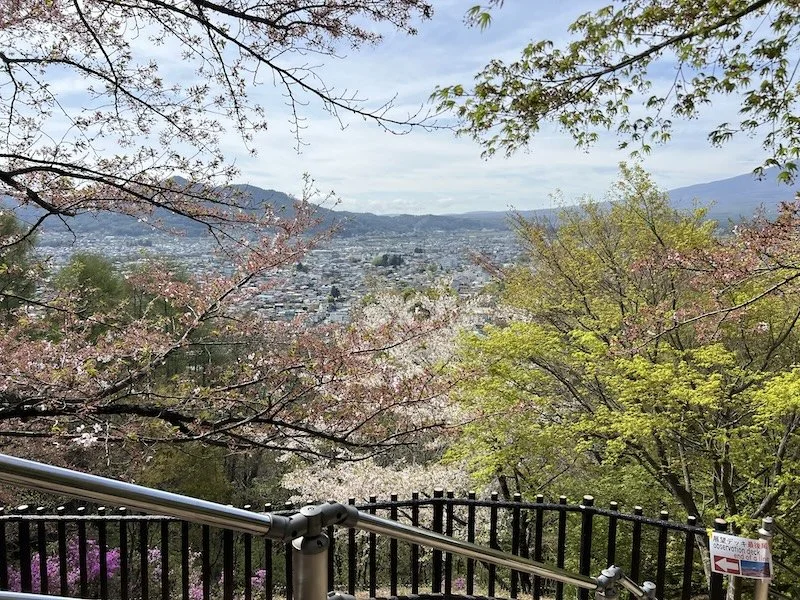
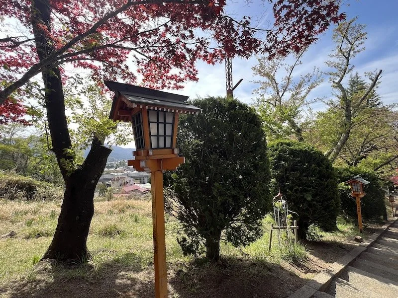
The beauty was that there were cherry blossoms everywhere at this high altitude. We thought Kyoto was our last interaction. This was mind boggling. We enjoyed the hike to the top, got to soak in some amazing views and came back down.
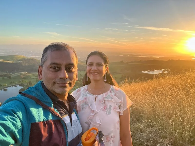
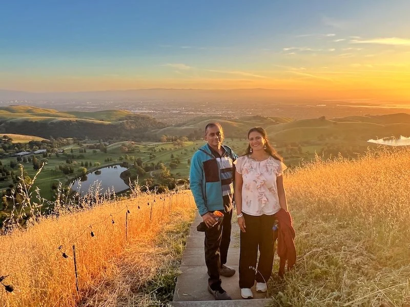
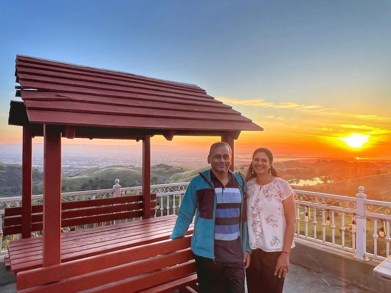
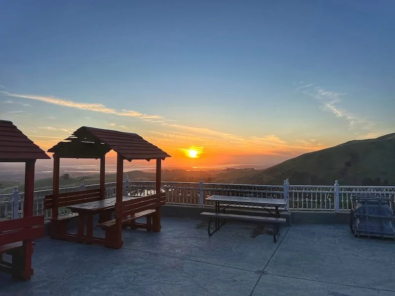
Here are the photos..


and a video highlight reel..
Every stop on this day was one upping the previous stop.. that in the next post..